Mateus Belo
Autoridade Administrativa Ataúro
Serví ho FUAN, Kaer Liman Hamutuk to'o Tutu SION
Mateus Belo
Serví ho FUAN, Kaer Liman Hamutuk to'o Tutu SION

Population
12,562

Surface
150 km2

Language
Raklungu Rasua, Rahesuk no Tétum

Capital
Vila Maumeta
The island is divided into five villages, each with its respective village: Bikeli and Beloi in the north, Macadade (formerly Anartutu) in the southwest, and Makili and Vila in the southeast, with the latter being the largest settlement. Other important villages include Pala, Uaroana, Arlo, Adara, and Berau. A paved road connects Vila to Pala, while the other settlements have dirt roads linking them. There is an airstrip in Ataúro.
Mount Manucoco is the highest point on the island, standing at 995 m above sea level. The strait that separates Ataúro from Timor has a depth of almost four thousand meters, while conversely, the side that separates Ataúro from Wetar is much shallower. Geologists from the University of Melbourne are working with the Timorese Directorate of Mineral Energy and Resources and the Polytechnic Institute of Dili to create the first geological map of Ataúro, in part to improve the island’s infrastructure, which is still lacking.
Ataúro is small and unstable, with steep terrain, and often suffers from landslides and a lack of clean drinking water, especially during the dry season. Sources of clean drinking water are present about 2 km north of Berau, with small reservoirs near Macadade and the eastern slopes of Mount Manucoco. Coastal water wells provide poor quality water for most coastal villages. Portugal is funding a new project to improve water availability and distribution infrastructure on the island.
Ataúro has two defined seasons – rainy and dry. The vegetation consists of Eucalyptus sp. forests (which demonstrates a proximity to Australasia) on steep terrain and hills, typically where limestone rocks protrude. Tropical forests are present in the valleys. The island has been suffering from extensive deforestation since Portugal began colonizing it in the early 16th century.
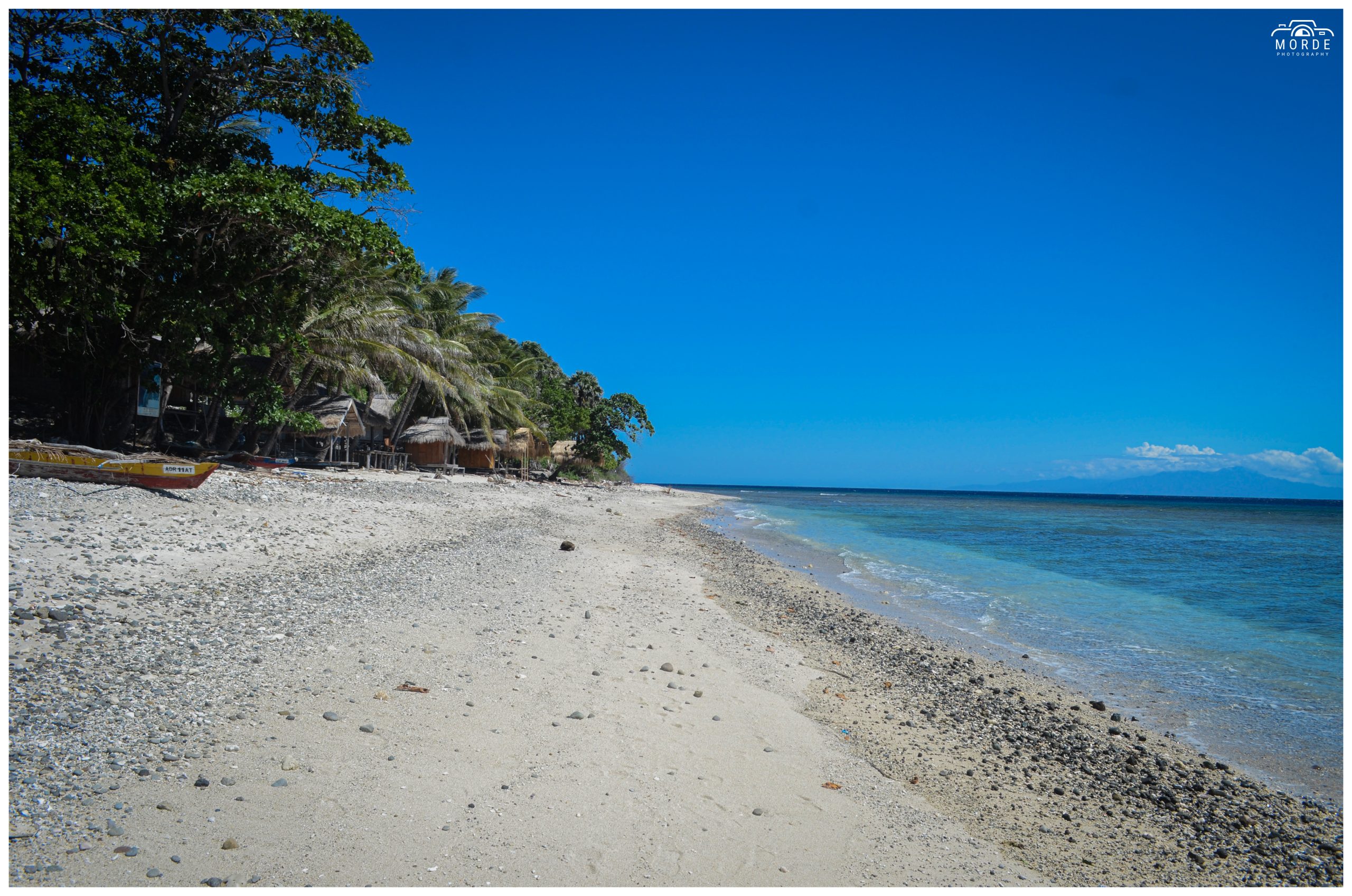
A ferry connects Ataúro to the country’s capital, Dili, once a week. The connection takes about two hours. The pier is located in Beloi. The island can also be reached by fishing boats. An airstrip is located near Vila Maumeta. Ataúro has recently become a destination for ecotourism, which has made its corals known among diving enthusiasts.
…
On August 11, 1975, when UDT organized a coup in an attempt to interrupt the growing popularity of Fretilin, the Portuguese governor Mário Lemos Pires left Dili and went to Ataúro, from where he later tried to establish an agreement between the two groups. He was urged by Fretilin to return and resume the decolonization process, but he insisted that he was waiting for instructions from the Lisbon government, which had little interest in the issue.
The chaos eventually led to the Indonesian occupation. After decades of struggle, on May 20, 2002, Ataúro became part of independent Timor-Leste.
In terms of climate, from May to July, there is an average of two rainy days per week, while from November to January, there is rain every other day. From August to October, the weather is hot and there is no rain. The climate averages between 24.60°C to 29.80°C, with some days reaching up to 29°C.
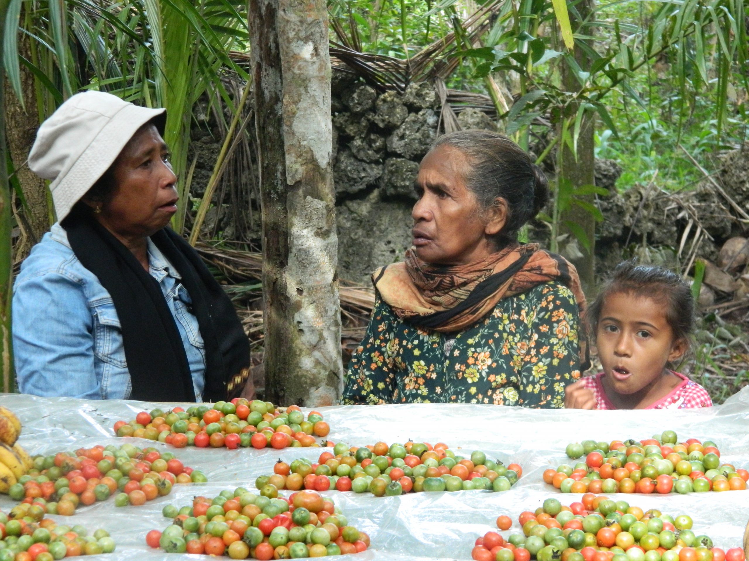
Some points of interest in the municipality of Ataúro are: the Atauro Doll Factory, Adara Beach, Akrema Beach, and so on.
Decreto-Lei N.º 82 /2023 de 23 de Novembro Autoridade Administrativa de Ataúro Artigo 4.º Missão e atribuições 12. São atribuições da Autoridade Administrativa de
DECRETO-LEI N.º 82 /2023 de 23 de Novembro AUTORIDADE ADMINISTRATIVA DE ATAÚRO Artigo 4.º Missão e atribuições 9. São atribuições da Autoridade Administrativa de
DECRETO-LEI N.º 82 /2023 de 23 de Novembro AUTORIDADE ADMINISTRATIVA DE ATAÚRO Artigo 4.º Missão e atribuições 5. São atribuições da Autoridade Administrativa de
DECRETO-LEI N.º 82 /2023 de 23 de Novembro AUTORIDADE ADMINISTRATIVA DE ATAÚRO Artigo 4.º Missão e atribuições 8. São atribuições da Autoridade Administrativa de
DECRETO-LEI N.º 82 /2023 de 23 de Novembro AUTORIDADE ADMINISTRATIVA DE ATAÚRO Artigo 4.º Missão e atribuições 3. São atribuições da Autoridade Administrativa de
Decreto-Lei N.º 82 /2023 de 23 de Novembro Autoridade Administrativa de Ataúro Artigo 4.º Missão e atribuições São atribuições da Autoridade Administrativa de Ataúro,
DECRETO-LEI N.º 82 /2023 de 23 de Novembro AUTORIDADE ADMINISTRATIVA DE ATAÚRO Artigo 4.º Missão e atribuições 13. São atribuições da Autoridade Administrativa de
Diploma Ministerial N.º 42 /2024 de 5 de Junho Regulamento de organização e funcionamento da Autoridade Administrativa de Ataúro Agência de Planeamento Artigo 16.º
Diploma Ministerial N.º 42 /2024 de 5 de Junho Regulamento de organização e funcionamento da Autoridade Administrativa de Ataúro Serviço de Aprovisionamento Artigo 13.º
Naran Diresaun Serviço de Finanças, Património e Logística Naran Xefia ba kada diresaun Tomas de Araujo N.ºTelemóvel 78163001 Email D/A Lokalizasaun eskritóriu Postu Suku
Diploma Ministerial N.º 42 /2024 de 5 de Junho Regulamento de organização e funcionamento da Autoridade Administrativa de Ataúro Serviço de Administração e Recursos
© 2026 Autoridade Administrativa Ataúro